Trending

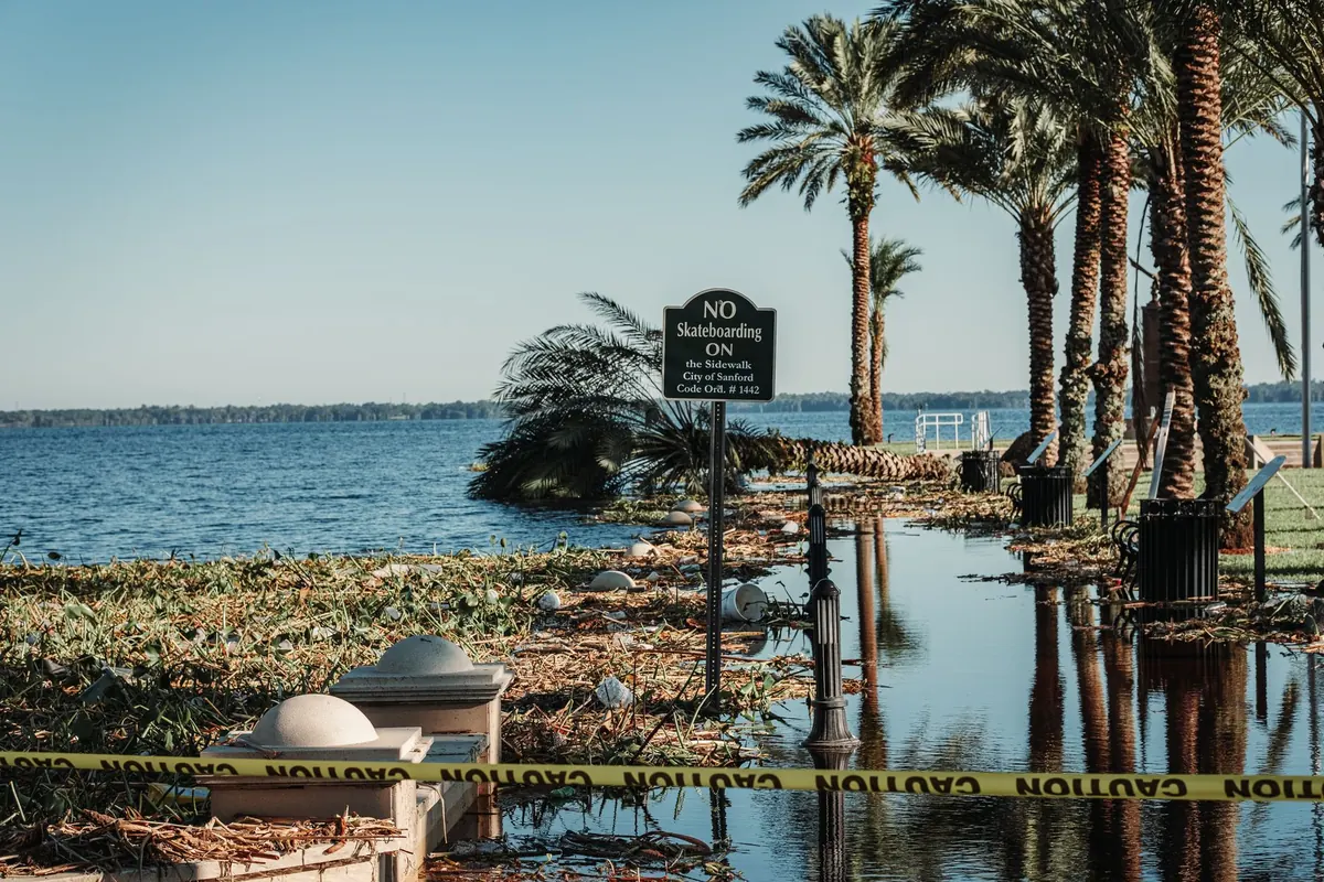
By the time the water reaches the promenade, it is usually too late to start checking the forecast. Coastal flooding around the UK arrives on a schedule nobody controls: a spring tide, a deep area of low pressure, an onshore gale, all landing on the same high water. The gap between being mildly inconvenienced and being genuinely at risk often comes down to how early you knew. The warnings are free, they are already being issued, and setting them up takes about ten minutes.
The Environment Agency covers England, Natural Resources Wales covers Wales, the Scottish Environment Protection Agency (SEPA) covers Scotland, and in Northern Ireland flood warnings sit with DAERA and NI Direct. These are the bodies that run the automated calls, texts and emails when flooding is expected.
The Met Office is a separate operation. It issues weather warnings for rain, wind, snow, ice and thunderstorms, telling you that a spell of dangerous weather is on the way. It will not tell you that your particular street is about to flood, but a Met Office warning for strong onshore winds combined with a high spring tide is exactly the sort of pairing that should put you on alert.
HM Coastguard does not issue flood warnings for your house. What it does is broadcast maritime safety information and respond to emergencies at sea, which matters if you sail, paddle, fish or walk the coast path. Local councils, harbour masters and port authorities add their own advisories: a promenade closed, a flood barrier lowered, a seafront car park gated off ahead of the tide.
In England and Wales the wording is consistent, and it is worth learning by heart.
Alerts tend to cover a long stretch of coastline, while warnings are more localised — often down to a single estuary, town or frontage. Read the area description rather than assuming it is aimed at you, or assuming it is not. Scotland uses SEPA's regional flood alerts and local flood warnings, which work along similar lines, and Northern Ireland publishes its own warnings through DAERA and NI Direct.
Warnings only work if they can reach you, and the moment a storm is named is the worst time to discover that your account still holds a phone number you had three years ago.
Floodline, the telephone service run for England and Wales, will tell you the current situation in your area if you would rather speak to someone than read a screen. It is also useful for checking whether a warning is still in force: messages are cancelled when the risk passes, and an old text sitting in your inbox is not evidence of anything.
Coastal flooding usually needs three ingredients at once: a high tide, a surge and waves. Spring tides — a confusing name with nothing to do with the season — arrive roughly twice a month around the new and full moon, when high water is already at its highest. Add low atmospheric pressure, which allows sea level to sit a little higher, and a strong onshore wind pushing water up an estuary, and an ordinary high tide becomes something else entirely.
Met Office warnings are colour-coded yellow, amber and red, with red indicating a significant risk to life. If a weather warning covers your stretch of coast, look at the tide table next. Times and heights for high water are published by harbour authorities, in local tide tables and in most tide apps, and the difference between a 4.8-metre and a 5.4-metre high water can be the difference between a wet slipway and a flooded ground floor.
For anything happening on the water — a boat dragging its mooring, someone cut off by the tide, a person in difficulty — call 999 and ask for the coastguard. If you have a VHF radio aboard, Channel 16 is the distress and calling channel, and HM Coastguard broadcasts safety information over it when conditions justify it.
Harbour masters and port authorities are often first to close a slipway or suspend a ferry sailing, and their notices are usually posted on harbour websites and social feeds. Community flood groups, town councils and local Facebook pages can be quicker still, but they can also be wrong. Cross-check anything dramatic against the agency or council feed before you act on it, and never drive towards a flooded seafront because a post said the waves looked impressive.
If you live or work near the coast, decide now where you would park the car, which route you would take to higher ground and where you would go if you had to leave in a hurry. Keep a small flood kit — torch, warm layer, medication, phone charger, copies of key documents — somewhere you can grab it in the dark.
Insurance is worth attention well before winter. Coastal flood cover can be harder to arrange and the small print matters, so speak to your insurer or a broker early rather than the week a storm is forecast, and take professional advice if you are buying a property in a flood-prone area. If you or someone in your household relies on electricity for medical equipment or would need extra help in an evacuation, ask your utility companies and local council about their priority services registers.
Floodwater is not clean water. It carries sewage, fuel, chemicals and sharp debris. Wash thoroughly after any contact, cover open cuts, and seek medical advice if you become unwell afterwards.
Ten minutes now saves a great deal of panic later. Check which agency covers your postcode, register your phone numbers, add the tide table to your bookmarks and glance at the forecast when a big tide and a low-pressure system are due to coincide. Then do the same for a neighbour who is not online. Coastal communities look after each other best when everyone knows what is coming, and the warning systems only work if somebody has actually signed up to receive them.